
Large Seamount Areas
Description
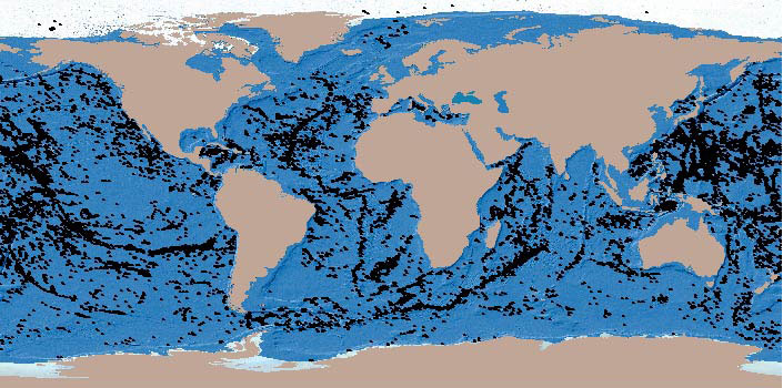
This image shows over 14,000 large seamounts identified from a mid-resolution bathymetric map, using methods outlined in Kitchingman and Lai (2005). There are more small seamounts, but their distribution should be roughly similar to that shown here.
References
Kitchingman, A. and Lai, S (2004) Inferences on Potential Seamount Locations from Mid-Resolution Bathymetric Data. Pp. 7-12 In: Morato, T. and Pauly, D. (eds.) Seamounts: Biodiversity and Fisheries. Fisheries Centre Research Reports 12(5), University of British Columbia, Vancouver.
Available download(s)
GIS Shape Files
GIS World Shape File